Grant Portfolio > Hudson Archival - New Amsterdam History Center


Click to enlarge, click arrows to scroll.


Hudson Archival - New Amsterdam History Center
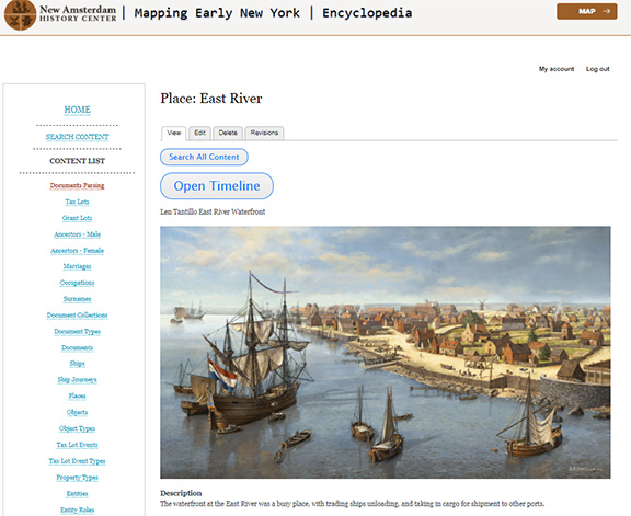
An encyclopedia of Dutch Colonial History linked to maps of the Castello Plan (the earliest map of New Amsterdam) the Mapping Early New York project provides dynamic historic context to the geography of New York State in the form of an interactive digital map. Layers of the map include accessible graphic representations and original documents that relate people and places. The Timeline feature is a window for users to see the evolution of a specific place over time, and the history of an individual mined from original Dutch documents at the New York State Archives, the NYC Municipal Archives and other sources. For the first time, this period is available to us in its fully diverse and realistic context.
